Global SOC Mapping at 10 m
Soil organic carbon mapped across European farmland from multi-temporal Sentinel-2 imagery and gradient-boosted models.
View projectGlobal-scale soil science — building datasets for carbon MRV and monitoring soil property dynamics to support verifiable climate action.
Soil organic carbon mapped across European farmland from multi-temporal Sentinel-2 imagery and gradient-boosted models.
View projectA measurement, reporting and verification protocol for agricultural soil-carbon credits, aligned with international carbon-market standards.
View projectPredicting soil properties directly from VNIR reflectance spectra using convolutional networks trained on global spectral libraries.
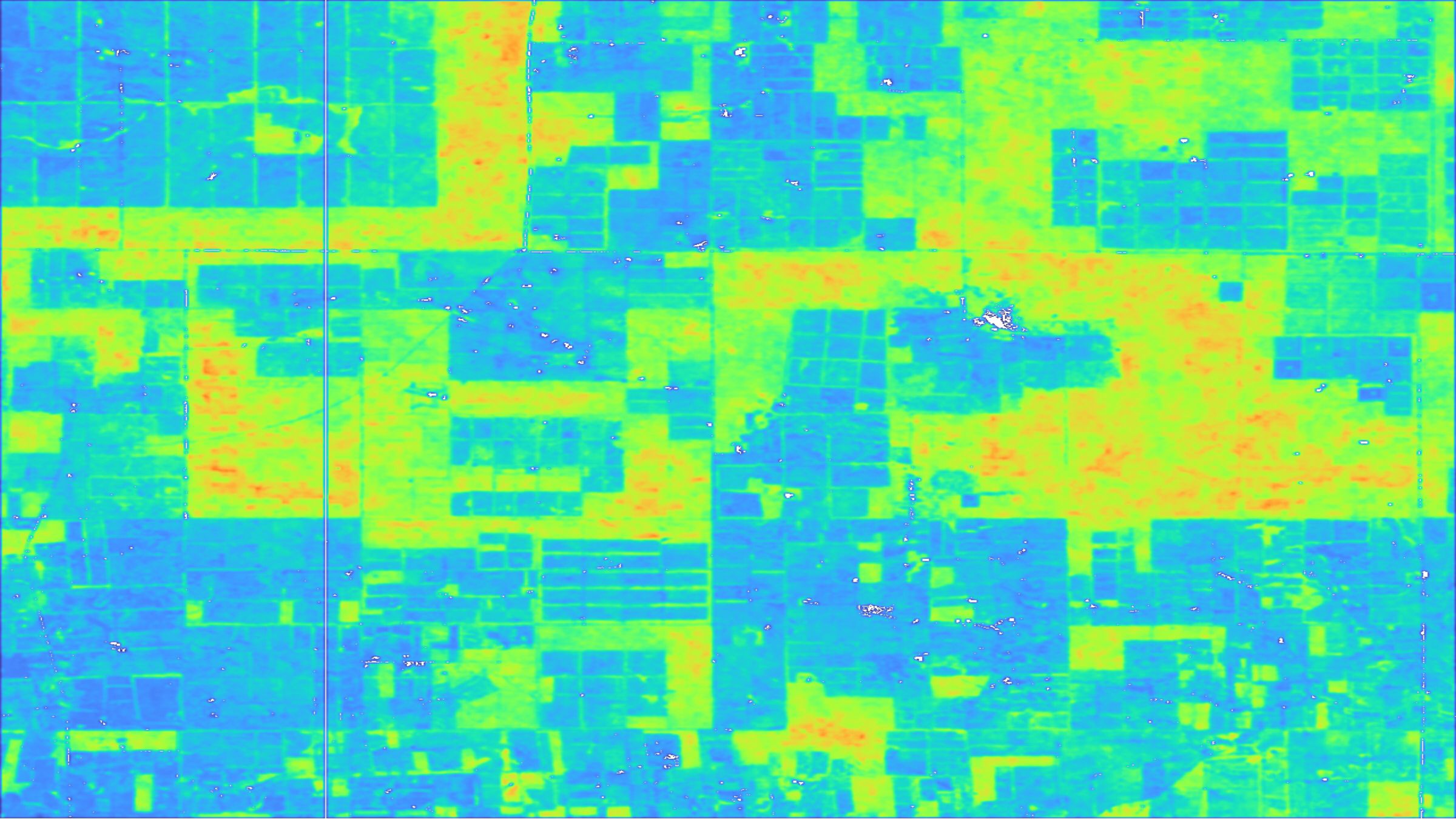
View projectFalse-colour spatial distribution of soil organic carbon across agricultural parcels derived from multi-temporal satellite imagery.
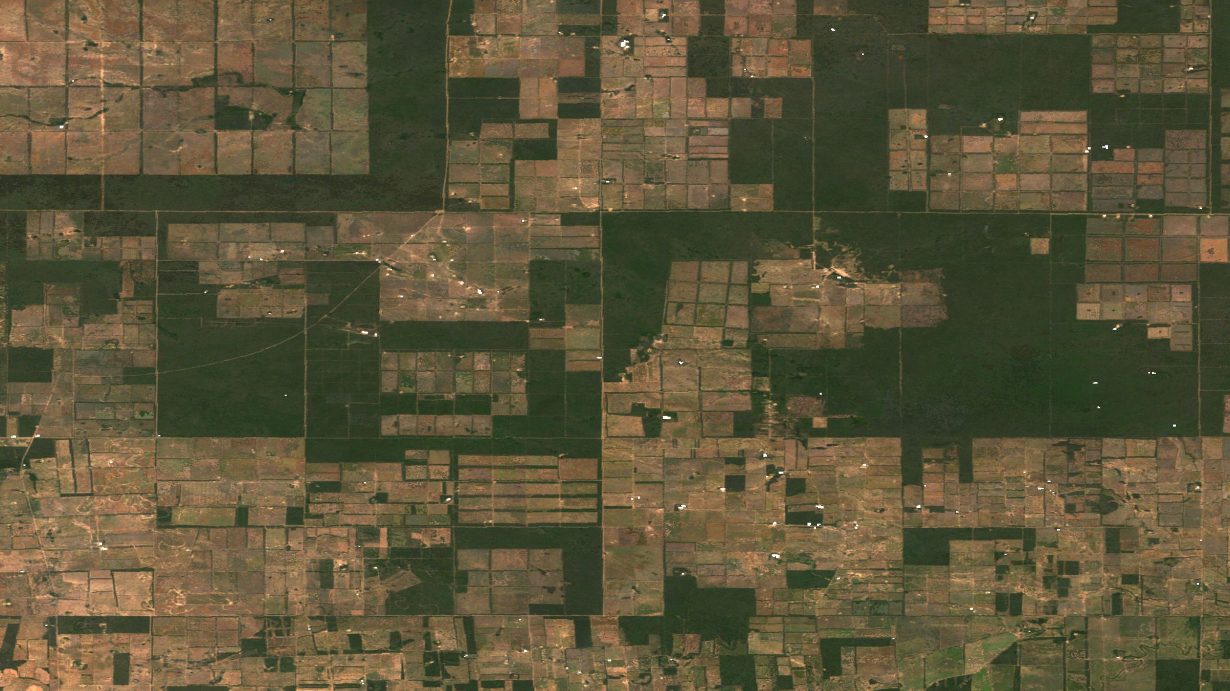
View projectTrue-colour satellite imagery used for large-scale carbon stock sampling design and land-use change detection.
View projectI am a PhD in Geography building global-scale soil intelligence for a measurable future. My research combines satellite remote sensing, machine learning and field spectroscopy to map soil organic carbon and track soil property dynamics across landscapes at unprecedented resolution and consistency.